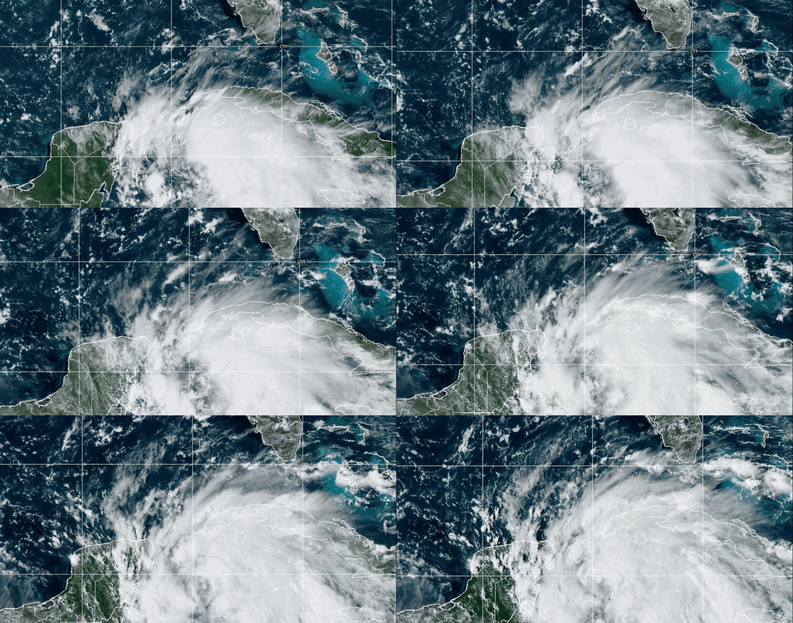
Hurricane warnings were issued Tuesday for a wide stretch of Florida’s Gulf Coast ahead of Tropical Storm Helene’s anticipated landfall as a major hurricane later this week, forecasters said.
Officials in Mexico also issued hurricane warnings for a large section of the Yucatan Peninsula, stretching from the tourist hotspot of Tulum to Cabo Catoche, on the peninsula’s northern tip, the National Hurricane Center said in an afternoon advisory.
In Florida, the warnings are in effect from Mexico Beach, east of Pensacola, to the Anclote River, near Tampa, the center said.
The storm is expected to strengthen into a hurricane on Wednesday as it moves across the eastern Gulf of Mexico before becoming a major storm Thursday, according to the advisory.
Helene’s storm surge is expected to raise water levels in Tampa Bay by as much as 8 feet. Other areas could see levels rise 3 and 15 feet, the advisory says, while rainfall totals are expected to reach 8 inches across the southeastern United States.
Helene’s large size will likely mean the storm’s hazards will hit an extensive area, the advisory says.


