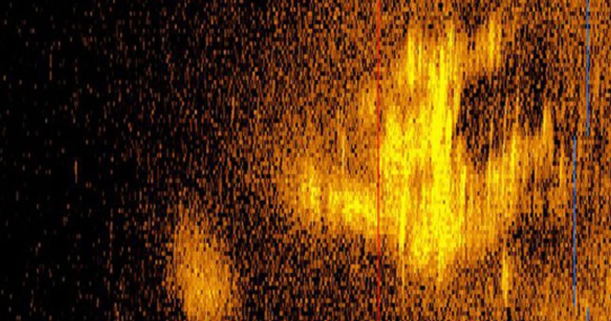
The company behind a search for pilot Amelia Earhart’s possible crash site in the Pacific said a sonar image believed to resemble her plane turned out to be the sea floor’s normal shapes.
Marine robotics firm Deep Sea Vision said earlier this month on its social media accounts that imagery from an underwater drone deployed during the expedition turned out to show a “natural rock formation.”
“After 11 months the waiting has finally ended and unfortunately our target was not Amelia’s Electra 10E,” it said in the Nov. 6 post, referring to her twin engine Lockheed 10-E Electra.
The company, based in Charleston, South Carolina, did not immediately respond to a request for more information about its conclusion.


